Mount Bryant was rated Easy in the Nugara scrambles book so I thought it would be a good one to do on my own. Dan’s ankle still wasn’t up to hiking up mountains so I was solo. I prefer to do these scrambles with Dan but I want to be sure to hit the 20 Peaks in 2023 goal. This one makes twelve. Eight left to do.
I did this scramble on a Monday (July 17, 2023) and did not see another person the whole day.
The route includes four main segments. A short hike up Canyon Creek to the north fork, a long hike up the north fork, sometimes on trail, sometimes on the creek bed, another long hike up a higher creek fork to a beautiful lake and finally, the steep scramble to the summit.

Beta:
- I did this as an out-and-back, descending the summit the way I had come up. As mentioned above, it can be done as a loop.
- Parking: There is a small parking area on the east side of Powderface Trail where Canyon Creek crosses the road.
- Elevation gain: 958 meters
- Distance: 17.7 km total out and back
- Difficulty: Very steep hiking up dirt, loose rocks and scree. The distance and the lack of other people made it feel very remote.
- Gear: no special gear was needed.
Permit Required
A Kananaskis Conservation Pass is required to park at the trailhead.
Helpful Apps
- AllTrails
- FATMAP
Books
- More Scrambles In the Canadian Rockies by Andrew Nugara
Trip Report

Hiking up Canyon Creek from the road. There is a trail at the beginning on the left side where you start but soon the trail ends at the creek bed and you pick your way across the rocks and gravel. Easy crossing here in July. The north fork comes out of the valley ahead on the right.
As you approach the valley where the north fork comes down, you see a yellow sign. Head for this sign. The trail up the north fork starts here.As you approach the valley where the north fork comes down, you see a yellow sign. Head for this sign. The trail up the north fork starts here.


A nice trail starts the long hike up the north fork.
In some places, you must navigate the mostly dry creek bed, making your way up rocks and gravel.


But in many places, there is a nice trail beside the creek. It crosses back and forth using whichever side has the forest and ground for a trail. If the trail ends at the creek, look around on the opposite side for another trail to start. Typically you will find one, unless the creek is in a narrow canyon where there is no where for a trail. There you must hike up the rocky creek bed.
Peaches stops for a drink at a place where the creek has a little water.


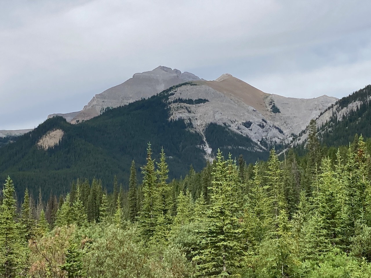
Here a thin waterfall tumbles down the cliffs on the north side of Mount Bryant. That might be the summit in the background.
Recently, the weather has been sunny in the morning with thunder and rain in the afternoon. The forecast today was no different. I just hoped the storms would hold off until I was down from the summit and hiking out.
The route goes left up a small dry creek bed to wind around the north side of Mount Bryant. Here I hiked up through the big rocks but there was a trail on the left side in trees. I missed it on the way up but found it on the way back down.


It didn’t take me too long to find a good trail along the creek. After following the creek for a short distance, the trail headed up to the left away from the creek.
Eventually the trail pops up out of the trees and traverses the hillside. It drops a bit into the alpine meadows in the photo before heading back into the trees near the lake.


Back in the trees, Peaches and I find a firepit and a nice campsite. I had read that people camp near the lake. It seems like a beautiful spot for a night out.
Another fire pit and campsite here. This one is close to the lake.


Finally arriving at the lake. Previous visitors have built stone sculptures. Our ascent trail starts to the left, not in view in this photo.
Looking up the ascent slope at the first cliff band above. The cliff is easily passed around the left side.


Approaching the first cliff band. The way around it is left of the big lumpy boulder. On the way down, I used this boulder for navigating back down to the spot where I came up around the cliff so I knew where to safely descend.
Looking back down at the lake. The intensely beautiful colour of high mountain lakes is captivating.


Here’s where the going gets tough. This slope is steep. Many of the rocks slide down when you step on them. I was out of breath a lot but I tried to stay positive. Just get to that boulder on the left there and you’ll be close to the summit. Wrong! This was one of those peaks where you look up ahead and think you’re seeing the top. But as you get to that spot, a higher top appears ahead. And so on. And so on. So much hard work here!
Here we look down on that boulder that was high on the left in the previous photo. Making progress but now some distant rumbling can be heard over the mountains in the distance. How close do you let the thunder storm get before you bail and head down? Am I a hiker-shaped lightening rod up here?


A second cliff band with an easy ramp up the right side.

The storm is heading towards me dumping rain. I can just make out blue skies over the summits to the west.

I persevere to the summit and am rewarded with a summit register in the pink metal box that is becoming familiar this year. The storm is approaching and the wind is whipping my hair up.
Another register signed. Another “sola” summit. I miss my climbing and scrambling partner.

I love the Forgetmenots that grow in the alpine. The hike in to the base of the mountain was certainly a beautiful, worthwhile trip. The summit slope was a total grind. In the end, I made it back down to the creek before the rain really started. A long and tough day. Perhaps the hardest peak for me mentally so far this year.


Reach the peak!
Find more summits:
Leave a Reply