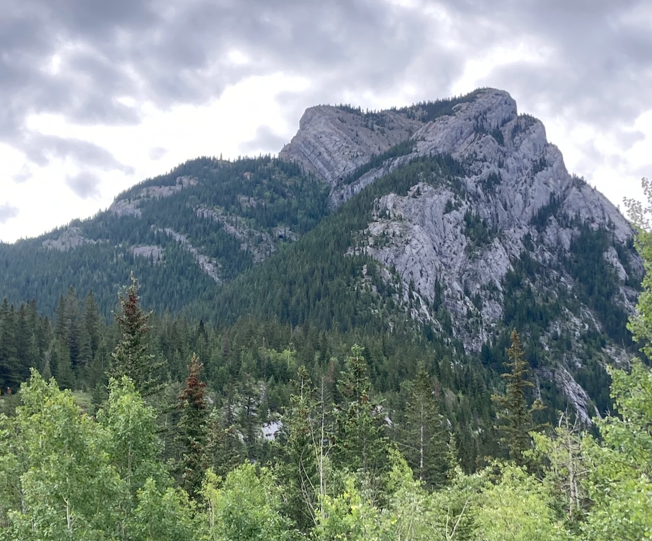
I decided to climb Heart Mountain next because it is close to Bow Valley Campground where we were camped for the week and also because I was summiting alone. Dan is still recovering from his fall on Plutonian Shores (see Rock Climbing – Multi Pitch Climbing). I had climbed Heart Mountain before so I knew the route and I didn’t want to deal with any route finding challenges on my own.
I had in mind to check out the Horseshoe. This is the name of a route that continues from the top of Heart Mountain back to Grant MacEwan Peak, up over that peak and along a ridge that curves around back towards the highway. I’ve never been up there before. I thought that if it looked ok, I’d hike it but if it looked too sketchy, I would turn around and come back down Heart.
For now, I’ve given up on increasing the difficulty of the routes. I don’t want to take on more risk while Dan can’t join me and I have to go out alone. Being out alone is an added risk in itself. Until Dan can join me, I’ll do peaks I’ve done in previous years, like Heart Mountain and Mount Yamnuska (which may be next!).

Beta:
- This is a loop trail. It works best to go counter-clockwise.
- Park at the Heart Creek Trail area parking lot off the Trans Canada Highway.
- Elevation gain: 947 meters
- Distance out and back: 11.2 km for the complete loop
- Difficulty: A scramble. Very steep hiking up dirt, rocks and slabs with scrambling sections. Be prepared to use your hands and pull some climbing moves to get up short sections of steep rock.
- Gear: no climbing gear is needed but ensure you have sturdy shoes or boots that will grip on steep rock. Approach shoes are perfect.
Permit Required
A Kananaskis Conservation Pass is required to park at the trailhead.
Helpful Apps
- AllTrails
- FATMAP
Books
- SCRAMBLES In the Canadian Rockies by Alan Kane
Trip Report

June 21, 2023 – The trail from the parking lot over to Heart Creek is wide and easy to follow. It goes up and over a small hill. Uma joined me on this summit. She’s been to the top before too so I knew she could make it. She’s also great at finding trails when they’re not as easy to spot as the one in this photo.
A sign points the way. Heart Mountain Scramble here we come!


The trail is easy at the start, as you move up towards the mountain, away from the highway and the creek.
It soon turns to broken slab as you start to climb.


Here a flatter spot where you are once again following a trail.
And then back to broken slab and loose rocks.


Uma is checking out this trail in the forest. Sometimes there is a choice between staying right and going up on slab and rock closer to the edge of the cliff that overlooks Heart Creek or taking a trail up through the forest. After rain all day the day before, the forest trails were a bit muddy.
Here going up more slab.


Uma is pretty good on the slab.
The cliffs in the distance look a bit intimidating. The trail finds a way up with a little bit of climbing required.

The Scrambling Begins

Handy blue triangles point the way. Yes, you must get up the cliff here. Just a few easy climbing moves are required.
When you approach the cliff, you find another blue indicator showing the area it is best to climb and a ribbon on the top showing where the trail picks up from the top. I was able to climb here no problem but Uma could not. I found a place where she could get up a little to the left of here.


A clearer view of the upper summit blocks. The route goes up a gully on the left side. It’s not as steep as it looks in the photo.
Here is a closer look at the gully with a blue indicator near the top showing where you want to climb. You then exit to the right and find a trail again.


The final blue indicator is on the tower at the top of the photo. I went left around the tower to get into the trees near the top.
The top of Heart Mountain a large flat treed area, not like other peaks I’ve climbed. I could not find a summit register but I did find a display of painted rocks with names and inspirational messages.

Grant MacEwan Peak

Looking at the first section of the Horseshoe. The trail drops down and then climbs through the trees to the left of the cliffs.
A really nice trail here, it was a joy to walk. The trail goes up off the left side of the photo and then along the top of the snowy ridge.


Up through the trees.
A little bit of snow beside the trail and under the trees. It is soft and melting quickly.


The trail goes up the top of the ridge here to the summit of Grant MacEwan Peak in the middle of the photo.
Looking ahead, the route goes along the top of the ridge.


The last section to the top of Grant MacEwan Peak.
Summit selfie!


This is Barrier Lake and Highway 40 in Kananaskis as seen from the top of Grant MacEwan.
The Ridge
We set off to hike the rest of the ridge. The snow makes the trail a bit more visible.


This is the back of Heart Mountain as seen from the ridge.
Uma poses near a pile of rocks at the top of one of the other high spots along the ridge.

The Descent Trail

Coming down off the end of the ridge, we are back down in the trees. There is a bit of awkward down climbing to get here but it’s never too exposed.
The final section of the trail takes us back over flat ground to the creek and then we are back on the trail to the parking lot. A great day!

That’s ten peaks done. With Dan out of commission until his ankle heals, I will continue to climb peaks by myself that I have done before.

This sign, placed where the scramble trail leaves the hiking trail, is a good reminder that this route is not a hike. It is a full-on scramble.
It was a bit scrappier than I remembered and I enjoyed using a few climbing moves to get up some of the rock. A fun day out.

Reach the peak!
Find more summits:
Leave a Reply