On June 13, 2023, Peaches and I set out to hike the Three Little Summits Route.
The route is on the AllTrails and FATMAP apps and it looked interesting.

We were staying Beaver Flat Campground and I walked from our campsite to find the trail.

I couldn’t find a trail leading up from the highway so we bushwacked up a steep bank hoping to cross the trail higher up, following the FATMAP.
We never did find a real trail but once we were up on the ridge, we found occasional yellow ribbons tied to trees that seemed to mark the route. It became kind of a fun treasure hunt, looking for the next ribbon.
Game trail or human trail? Not sure. I followed these trails when they lined up with the FATMAP route.


There in the distance! Another yellow ribbon. Fun treasure hunting.
The forest was pretty open and it was not a bad bushwack when I had to go cross country which was most of the time.
Eventually, the ridge top opened up and the views improved.


A definite sign that another human has been here before.
After this, the yellow ribbons no longer appeared along the route.
We seemed to start descending.
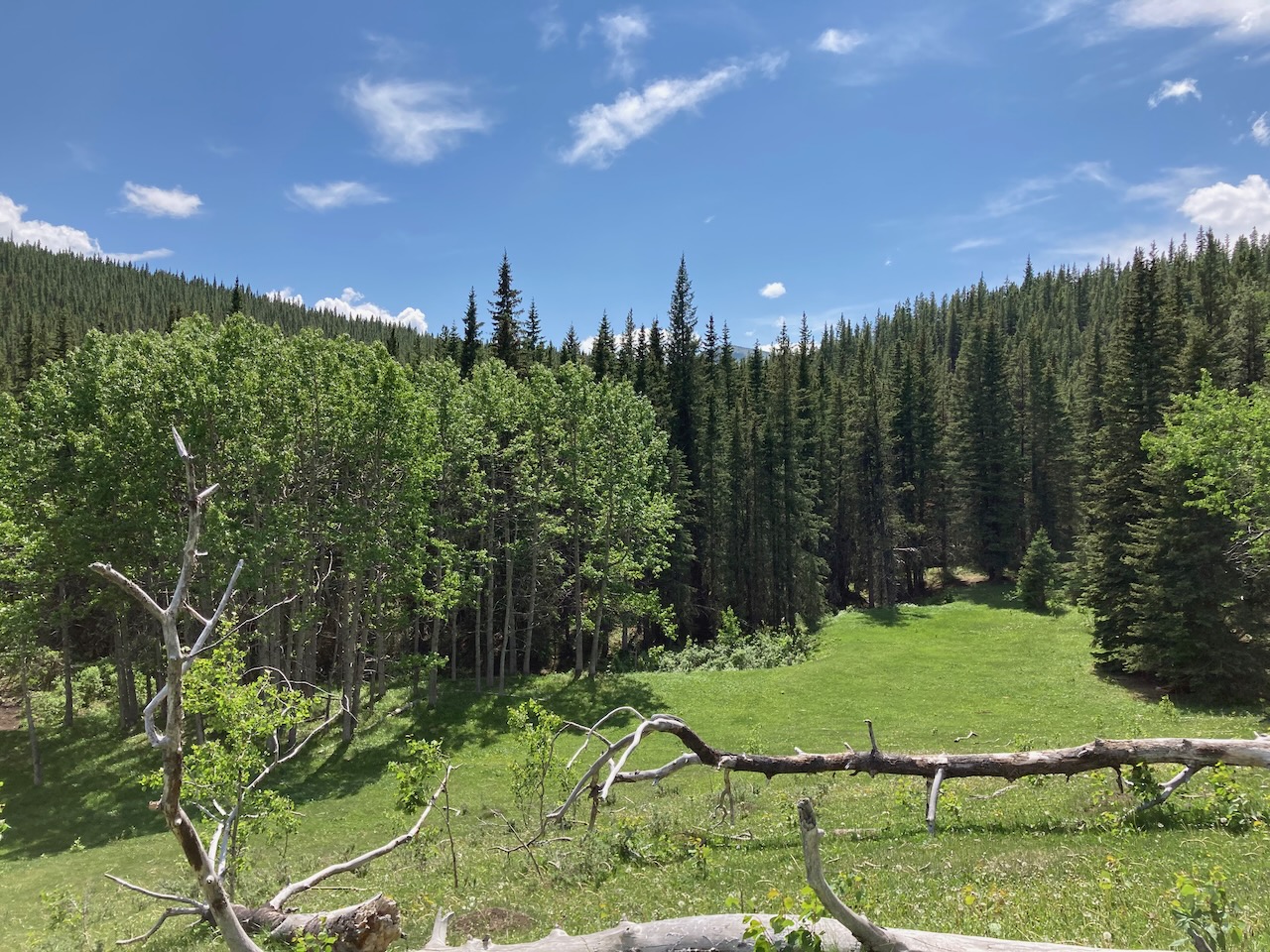
We dropped down too soon and got off route but we found this beautiful meadow with a stream flowing through it. I was considering going back up to rejoin the route when something strange caught my eye under a tree. I paused to try to figure it out. Then I realized it was a dead horse. There are wild horses in this area and I assumed it was one of them. But there are also active bears in this area.
Peaches and I took off out of there as quickly as I could. I expected to see a bear intent on guarding this fresh carcass but luckily there was no sign of bear. We moved quickly back down towards the highway, ending our day with a hike along the highway back to the campground.

Overall, we had hiked 7.2 km with a total elevation gain of 417 meters.

There’s more to explore
See more:
Leave a Reply