Overview
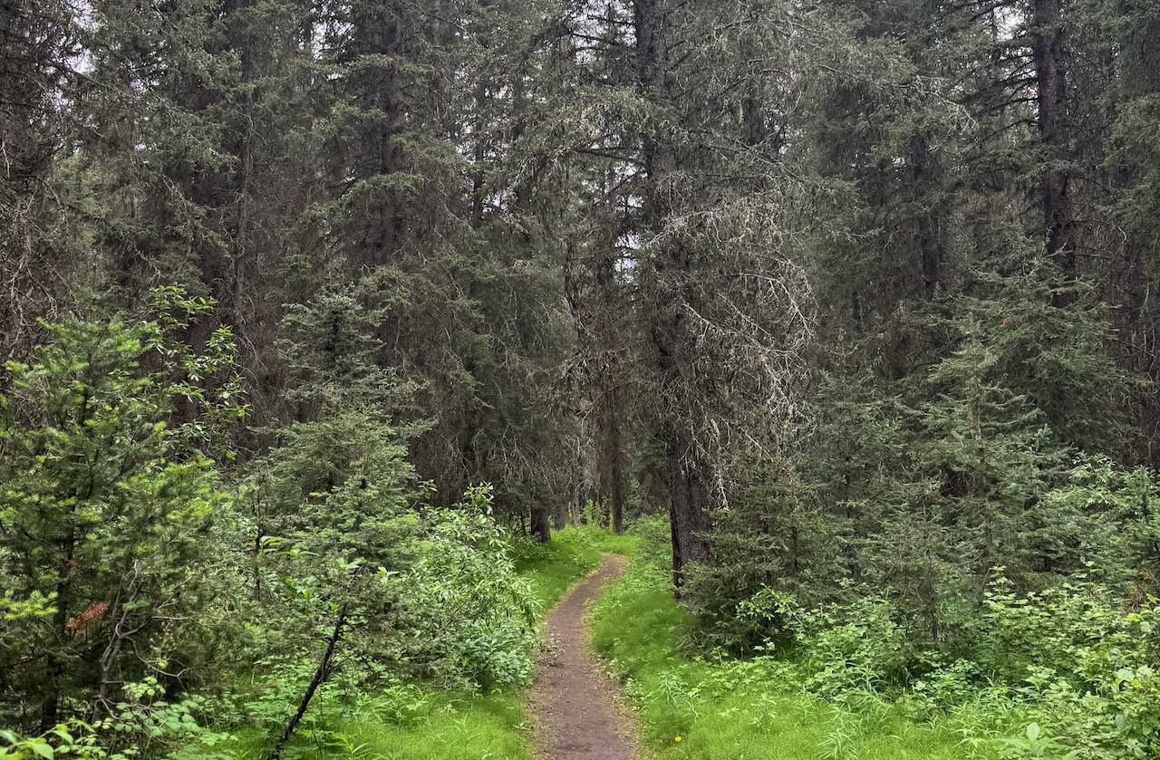
The first day of our Badger Pass Loop hike was primarily through forests, following Forty Mile Creek up the valley. Most of the route was in the shade, which we appreciated on the hot, sunny day. There was plenty of water along the trail as the we spent some time hiking along Forty Mile Creek and at other times, our trail was cut across by small tributary streams coming down the hillside to join Forty Mile Creek. From time to time, there were openings in the forest where we could see the towering heights of Mount Edith and Mount Louis.
Distance
My GaiaGPS app showed the total distance walked on this day was 17.6 km and elevation gain of 348 meters. The backcountry map published on the Parks Canada website gives a total distance for this leg of the journey of 15.9 km. We did end up taking a bit of a longer trail than the one on the map below.

Trip Details
We arrived at the parking lot for Mount Norquay Ski Resort a bit later in the morning. We had a few things to take care of back in Calgary before we left. I wasn’t worried about making it to the campground. I was expecting a straight forward day with an easy-to-follow trail and a gentle uphill hike to the campground. We had booked a site at the Mystic Junction Campground (Fm19).
Unfortunately, we took a wrong turn right at the start.

After we hiked past the Mount Norquay Ski Resort buildings, we got on the trail in this photo that traverses below the ski lifts.
We should have ignored this trail and continued on the road that leads under the ski lift in the photo.
I figured this out five days later, on the way out.
If you would like to see photos and details of the correct start and avoid our extra long detour, read Day 5.
As we hiked the trail below the chair lifts, we came to this Parks Canada trail sign. It seemed to suggest that we should continue on the trail in the same direction as Cascade Amphitheatre.


So we blissfully set off down to Forty Mile Creek on the Cascade Amphitheatre trail. My only hesitation came from the route I preprogrammed on my GaiaGPS app which said we should be staying higher, moving across some of the runs on the ski resort. But I thought I’d seen a trail down there, heading up the creek, when I’d hiked there before.
(This photo shows the well-maintained trail heading toward Cascade Amphitheatre.)
We carried on down the steep trail, losing all kinds of elevation until we came to another Parks Canada sign.

This one said that our campground was back up the trail, in the direction we had just come from.
We were confused and disappointed. I didn’t want to even think about going back up the steep trail we had just descended.
But there was a faint trail leading up the creek. It was heading in the direction we needed to go.
Now came a decision. Do we commit time to going up a trail that was not on any of our maps? What if it ended at a washout or cliff? We would have to turn around and retrace our steps, adding distance and time to our day.

The temptation was too great. We took the faint trail in the hopes that it would meet up with the correct trail as shown on my phone. There was a risk that the trail would be washed out or it would just peter out and we’d end up pushing and thrashing through thick bushes to try to get to the main trail. We might end up having to turn back and retrace our steps. That would have been a little soul-crushing and part of me braced for that possiblity. It was still before noon so we had some time to spare.

I relaxed a bit when I saw the orange tape tied to tree branches at regular intervals along the trail. Someone had marked this trail. It wasn’t abandoned.
As we progressed, we saw a lot of orange tape marking the trail. It made it very easy to follow.
I relaxed even more when we came to a bridge. It was obvious that even though the trail wasn’t regularly maintained, it did get used.


There were some sketchy sections though. At one point, the original trail had slid away where a landslide cut across a section of the hillside (sorry no photo).
Other times, as shown in the photo, the trail dropped close to the creek and was almost washed away.
It was clear why this trail was not an official route and was not marked on maps.
Still, it continued in the right direction and we continued following it. I hoped we would not have to do any cross-country bushwhacking to find our way back to the main trail.
I was delighted when, shortly after noon, I caught a glimpse through the thick bushes, of a large bridge just up the creek. We pushed through some willow bushes and found the main trail. What a relief!
Here we had our first break, grateful to be on the main trail and heading in the right direction.
We topped up our water here. We never carried more than 1 litre of water. There were usually good water sources at least every few km.


The main trail stayed near the creek at first.
Mount Louis came into view. I climbed a route on this mountain with a mountain guide about 10 years ago. I hope Dan and I will do a route on Mount Louis – the Kain Route – at some future point. It would require some more skills and practice on big alpine routes.
For now, we kept our feet on the trail and pushed on.


Most of the day, the trail moved through forest. It rolled up and down, gently gaining elevation, with more uphills than downhills.
We passed a junction with a trail that leads to Edith Pass. That pass runs along the other side of Mount Norquay, between Mount Edith and Mount Norquay.
The sign was difficult to read, some of the numbers being worn away. But it confirmed that we were heading in the right direction.


More hiking through the forest. It was pleasant and quiet. A nice transition from the busy-ness of city life into the simplicity of walking all day.
Around 1:30 pm, we came to the first campground, Cockscomb (Fm10) and stopped to check it out.
It was a nice spot and if you needed to start late in the day, this could be a good first night on the trail. It was about 10 km from the parking lot.


The trail continued up the creek, at times dropping close to the water and other times winding through the forest, traversing the slopes above the right side of the creek.
At times, little creeks came down the hillside and the trail crossed them. Usually, it was an easy rock-hop across.


We saw a lot of these toads on this trip. I believe it was a Western Toad. There were certainly a lot them around this year.
Around 5 pm, we came to another trail junction. This was the one we were waiting for. It meant that we were nearly at our camp.
This sign was a lot easier to read than the last sign but did not show any distances.
I was excited to see where we would be spending the night and hoped we would be at our camp soon.


It took another 20 minutes to get to this next junction. Here, the lower path on the left led to the campground. The higher path on the right continued to Forty Mile Summit.
We would hike back up to this junction the next morning to continue the hike to Forty Mile Summit.
For now, we took the trail down to the campground.
Campground
We chose a vacant site and set up our tent.
The sites were all signed and included tent pads with wood chips spread over them. I loved the wood chips as it prevented the camping surface from getting muddy and it was softer than hard ground to sleep on.

With the tent set up, we grabbed our food bags and set off to find the kitchen area. All the backcountry campgrounds on this loop are set up with the sleeping area separated from the eating and cooking area. We followed a trail down the creek a few hundred meters to find the food storage and cooking area.

This area included food storage lockers, a picnic table and a communal fire pit. The creek was just a short distance downhill from the fire pit. Here we cooked, ate and stored our food.

We also took advantage of the fire pit to have a fire which is something we usually don’t do.
What a treat! It was a fun and relaxing end to an adventurous first day.

Read about Day 2 of our hike or return to the Badger Pass Loop main page
Leave a Reply