On May 21, 2023, we summited Mount Sparrowhawk. That’s six peaks in 2023 completed. Sparrowhawk was the most challenging scramble so far this year for a couple of reasons.
First, although this scramble had a little less height gain than Grotto Mountain, a lot of the height gain on this scramble was through scree, talus and deep snow. Second, Sparrowhawk is more remote and less traveled than Grotto.
Grotto had trails. Even through scree, there was always a nice trail to follow. Sparrowhawk required some route finding and, despite our best efforts to find easy ways around the challenging terrain, there was a lot of churning up scree and post-holing through the deep snow.
Sparrowhawk felt more adventurous. We were the only people on this peak even though it was Sunday of May long weekend.
This mountain is just south of Little Lougheed, a smaller summit we did four weeks earlier. We saw Sparrowhawk from the top of Little Lougheed and wondered if there was a scramble route to the top. When we found it in our guidebooks, we decided to go for it.

Beta:
- This is an out-and-back trail.
- Park on the Smith Dorrien / Spray Lakes Road south of Canmore. The trail starts across the road from the Sparrowhawk picnic area.
- Elevation gain: 1,374 meters
- Distance out and back: 10.8 km
- Difficulty: a steep hike with no trail above tree line. The last couple of hundred meters to the top is very steep with lots of loose rock.
- Gear: consider bringing micro-spikes if there is snow. Gaiters would have been nice too, to keep the snow out of my boots.
Permit Required
A Kananaskis Conservation Pass is required to park at the trailhead.
Helpful Apps
- AllTrails
- FATMAP
Books
- SCRAMBLES In the Canadian Rockies by Alan Kane
- Rockies Central, The Climbers Guide to the Rocky Mountains of Canada by David P. Jones
Trip Report

A gentle start up a beautiful trail through the forest. This part of the trail was constructed to access the High Rockies Trail from the road. The High Rockies Trail was made for mountain bikes and can be ridden as a multi day “bike pack”. It is also part of the Trans Canada Trail.
Uma stops to rest at the benches where the trail meets up with the main High Rockies Trail. Our trail continues up the hill, away from the road.


The trail continues up through forest.
Here the trail splits. We take the left side heading up to Mount Sparrowhawk and Read’s Tower.


Blue ribbons tied to trees show where the trail goes. Not that it’s hard to spot!
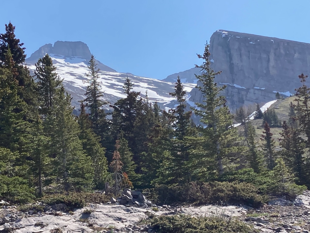
This lovely ridge across the valley from our trail is called Red Ridge.


The trail continues up steeply through the forest. We didn’t realize it at the time but we got off the main trail here. The main trail goes up a ridge over slab and loose rock. This forest trail is much more pleasant.
Eventually, we had to climb a steep slope to the right to get on the top of the ridge and rejoin the main trail.
Here the trail follows the top of the ridge leading to Read’s Tower. The summit block is in the distance.
We realized we were off the main trail in the forest and bushwacked up from the left side of this photo. We had to break through a snow wind lip but it was worth it to break out onto the main trail which was quite nice here.


The trail flattens out a bit as it runs along the top of the ridge. Looking back here at Spray Lakes.
Our trail continues up the ridge. The large blocky rock formation on the right skyline is Read’s Tower. The summit block of Mount Sparrowhawk is in the distance just left of center. You can see the snow slopes below which we will have to navigate to get to the summit.


At this point, we are near the top of the ridge. Read’s Tower is on the right. Our summit block is in the background.
The trail drops down to the left into the snowy cirque. We will cross the cirque, curve around the bottom of Read’s Tower and then climb up the snowy slopes to get to the summit block in the distance.
The final path goes to the right of the summit block and around the back.
Above Tree Line
Having dropped down into the cirque we crossed the snow field, which was firm enough to hold us on the surface except at the edges where it was hip deep. We then hiked up the back of the cirque passing many little waterfalls bringing run-off from the snow slopes above.


At the top of the main waterfall, we look back down into the cirque. Our trail came over the ridge with snow on it, beyond the cirque.
A closer look at the trail we have come up. The trail goes along the top of the ridge above the snow wind-lip. You can just make out our path down from the ridge, through the snow, and the trail crossing the forested slope in the middle of the photo. We then stayed on rock as long as we could, walking to the left side of the photo and then up through the rocks.


The hike continued up slopes covered with loose rock or corn snow. We avoid the snow as much as possible but our shoes are soaked by the time we reach the summit block.
On the way to the summit block.


Dan hikes through the final snow field on the way to the large cairn at the top left of the photo.
Finally above the snow, we have found a good trail that takes us around to the back of the summit block where the serious scrambling begins. The little shed at the back is a weather station.


Summit selfie!! All smiles as we finally reach the top. The last scrambly part required some serious focus for me so I did not get any photos of it.
Me and Peaches enjoy the views. There is a second weather station up here on the top.

I enjoyed the more remote, less traveled route on Mount Sparrowhawk. It felt a bit more adventurous than some of the more popular routes. However, there are some popular mountains we have wanted to climb for a long time. Next, we will try Mount Rundle near the town of Banff.

Reach the peak!
Find more summits:
Leave a Reply