On May 28, we summited Mount Rundle near the town of Banff. That’s seven peaks completed in 2023. This was the highest climb and longest distance so far this year. It was a lot of work but it was worth it.
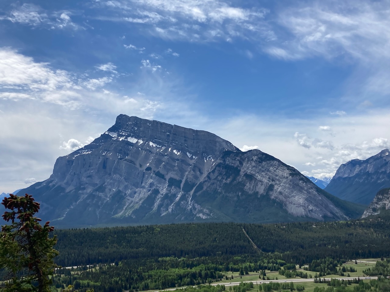
This is a popular scramble because it is so easily accessed from the town of Banff and it is such a visible, iconic mountain. We have driven past this mountain so often but have never climbed it. It definitely feels good to tick this one off the list.
Being a popular climb, the route is well defined with a clear trail most of the way.

Beta:
- This is an out-and-back trail.
- The trail starts and ends at the parking area for Bow Falls in the town of Banff. You start by crossing the Spray River on a bridge.
- Elevation gain: 1,676 meters
- Distance out and back: 15.5 km
- Difficulty: the route is well defined to tree line and then it’s a steep hike up slab and gravel
- Gear: consider bringing micro-spikes if there is snow.
Permit Required
- A National Park pass is required to park in Banff National Park. Find out more here: Fees Banff National Park
Helpful Apps
- AllTrails
- FATMAP
Books
- SCRAMBLES In the Canadian Rockies by Alan Kane
- Rockies Central, The Climbers Guide to the Rocky Mountains of Canada by David P. Jones
Website
- Parks Canada guide to the route: Mount Rundle Scrambler’s Guide
Trip Report

The trail starts wide and easy, heading up through the forest in the Spray River Valley.
Soon you take a left turn onto a smaller trail. This takes you up the hillside on the forested lower slopes of Rundle.


The first part of the Mount Rundle ascent trail goes up gently through the forest.
The gondola up Sulphur Mountain is visible across the valley.


After a few kilometres of rising forest trail, the switchbacks begins.
A view of the summit in the distance. I wondered how the route would get above all the cliffs. As It turned out, it cleverly traversed across the mountain to the right and ended up going along the top of the cliffs.


The trail crosses an avalanche path, still filled with snow, solid as cement.
Crossing the avalanche path takes us onto a rib of the mountain where we will climb up a steep trail towards the summit.
The trail heads up steeply through the forest.


Breaking out above tree line.
The next section of the route goes up slab. But it was surprisingly easy to walk up because it was rough and featured.


Looking back down the route towards tree line in the distance. This rocky and slabby section of the route is known as the Dragon’s Back.
The Dragon’s Back gets narrow and the drop off on either side was a bit hair raising. Good thing the footing was pretty solid.


A few patches of snow linger near the top.
The summit route goes up from left to right.


Dan on the summit.
Me on the summit.


View from the summit looking at Cascade Mountain and Lake Minnewanka.
View from the summit to Mt Assiniboine.


As we head down, it starts hailing. Below, there are people on the Dragon’s Back. We made it back to tree line before it started really raining. However, it didn’t last long and most of the hike down was under sunshine.

Reach the peak!
Find more summits:
Leave a Reply