2023
-
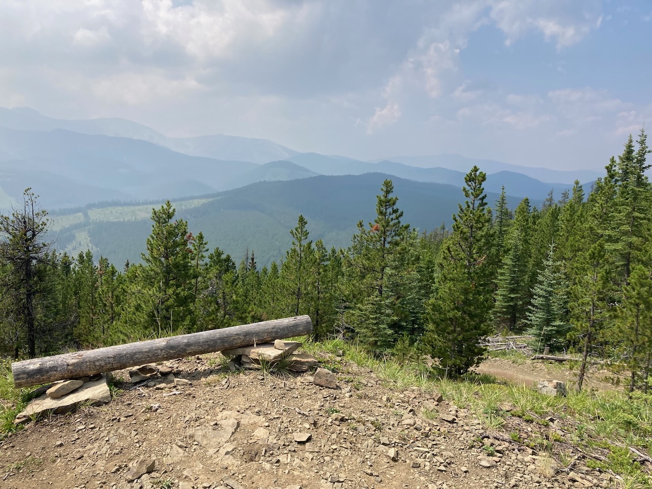
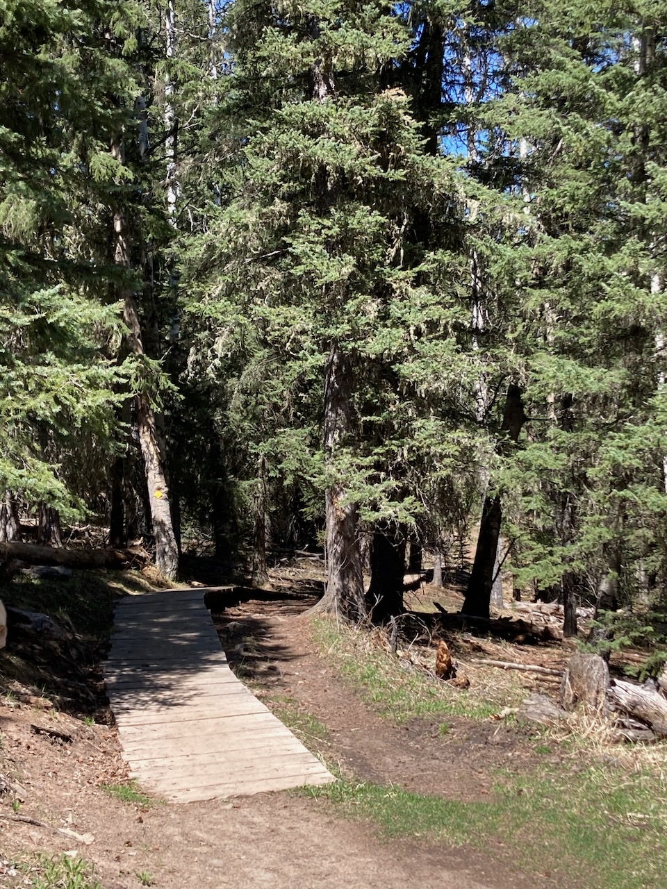
Braggin’ Rights – Merlin View – Kestrel Link Up
The ride started at West Bragg Creek parking lot, heading out on White Tail, then onto Braggin’ Rights out to Merlin View. We rode up Merlin View to Kestrel, exited onto Kestrel Trail, and back via Merlin View. The 17 km ride offered beautiful views and a smooth flowy trail, with approximately 500 meters of…
-
Ford Creek and Ford Knoll
The Ford Knoll Trail near Highway 66 west of Bragg Creek provided a challenging uphill ride that felt unrelenting and torturous. The trail, not designed for mountain bikes, offered minimal respite during the climb. Despite covering only 6 km with 280 meters of elevation gain, the experience felt far more demanding.
-

Ridgebacks, Bobcat, Snakes & Ladders Link Up
The trail link-up at Station Flats offers great corners, ridge tops, and rolling hills. Starting with Ridgebacks 1 and 2, then Bobcat to Ranger Summit, and back via Snakes & Ladders and Ridgebacks 3, 2, and 1, the ride covered familiar and new terrain, providing a thrilling experience with stunning views and varying terrain. The…
-
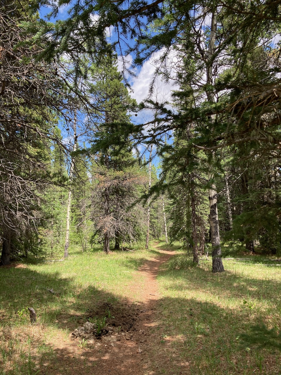
Elbow Valley Trail
This trail provides a convenient link between mountain bike trails, but is not ideal for a standalone ride. Starting at the Powderface Creek trailhead parking, the trail is rugged and serves as a connector for many others. The 13.9 km route includes steep sections and ends at a picturesque meadow between Ing’s Mine and Moose…
-
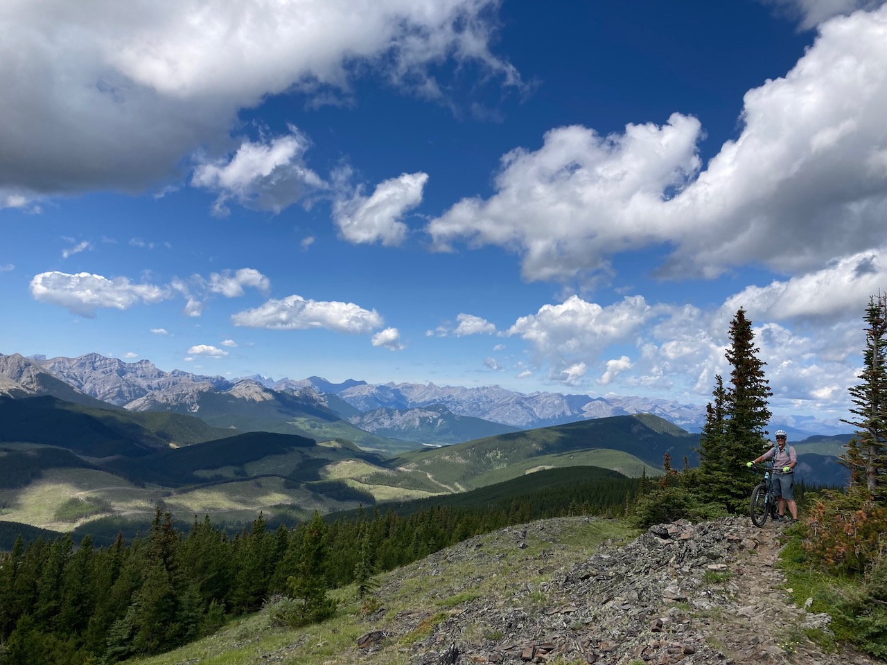
Jumpingpound Ridge Trail
A challenging 10.6 km mountain bike ride along Jumpingpound Ridge with steep climbs and switchbacks. The trail offers scenic meadows and a tough but well-maintained path with some loose sections. The ride starts at Powderface Trail, leading to a long ridge with a rewarding 552 meters of elevation gain.
-

Braggin’ Rights
Braggin’ Rights is one of my all time favourite mountain bike trails. It’s an 8.0 km trail that starts from the West Bragg Creek parking lot. Elevation gain is about 235 meters. The route is a smooth ride where downhill momentum helps you power up the uphill sections. You can make multiple loops off of…
-
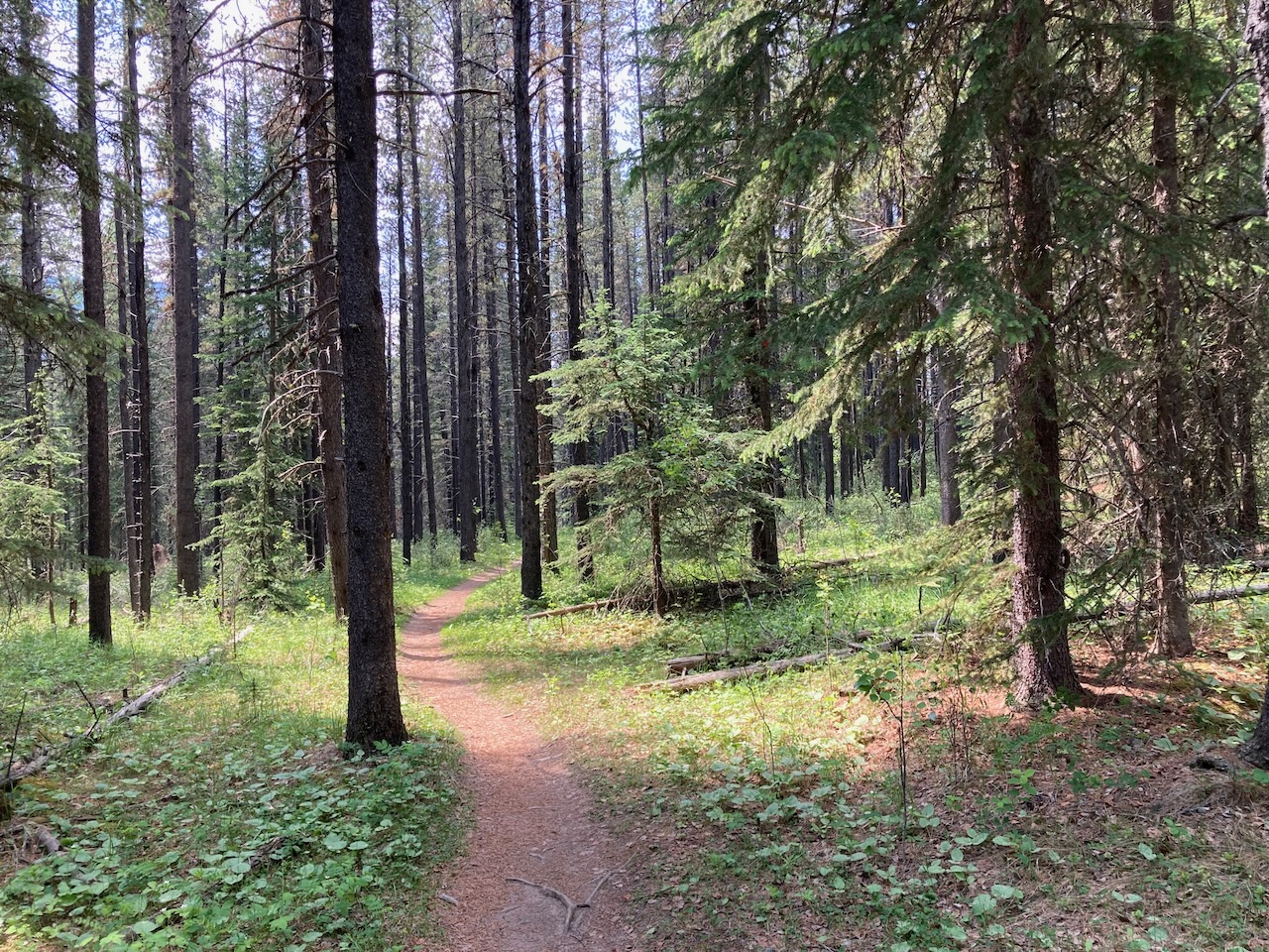
Ridgeback 1 & 2
The TrailForks app map guided us on a great warm-up ride along the well-maintained Diamond T Loop and Ridgeback trails, maintained by the Calgary Mountain Bike Alliance. We covered 8.3 km with 267 meters elevation gain, enjoying the fun and joy of the trails. Note to self: always choose Ridgeback over Tom Snow for an…
-

Forgetmenot Mountain
Forgetmenot Mountain offers a remote and serene hiking experience, with minimal technical challenges. The 21.4 km out-and-back trail features steep slopes and off-trail navigation, leading to stunning views from the summit. Although it requires a Kananaskis Conservation Pass for parking, this peaceful trek is perfect for solitude-seeking hikers.