A connector trail used to come onto or off of mountain bike trails. Elbow Valley Trail is not a great ride on its own but it’s useful to travel from one trail or area to another.

This map from the TrailForks app shows Elbow Valley Trail and some of the other trails it connects.
Park at the Powderface creek trailhead parking.
I started at the green dot. We were staying at a campground down Hwy 66.
Today I was riding on my own because Dan was recovering from a lead fall on a mulit pitch climb.
I decided to ride out from our campsite and find the Elbow Valley Trail. The Trailforks app shows that it starts just up the road from the campground.
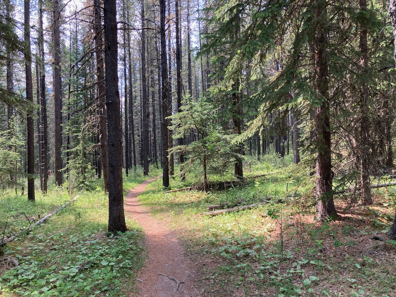
This section is a bit rough and loose.


Some of the steep parts didn’t inspire me. I think this trail is largely used as a connector. Many trails start or end from this trail.
I wouldn’t do it again as a ride on its own but I’m glad I checked it out.
After a long climb I got to this lovely meadow section between Ing’s Mine and Moose Mountain road. Here I called it a day and turned back.

Distance – 13.9 km and elevation gain of 384 meters.

Keep Rolling
To see more:
Leave a Reply