A steep climb up switchbacks leads to Jumpingpound Ridge.

This map from the TrailForks app shows the route.
Park along Powderface Trail.
We started at the light green dot. We rode past the dark green dot along the Jumpingpound Ridge Trail. We turned around before the summit of Jumpingpound Mountain.
We started this ride on the Jumpingpound Ridge (Lusk Climb) trail. Emphasis on Climb.
This trail climbs a quick 468 meters over just 3.9 km. Steep!
Many switchbacks took us up to the ridge. It was tough but the trail was in good shape. Mostly smooth with a few small sections of loose rock and roots.


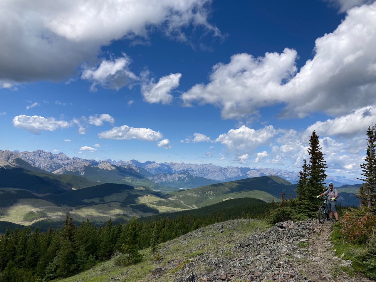
A helpful sign at the top of the climbing trail showed us our options. We chose to ride along the Jumpingpound Ridge.
The ride along the top of the ridge went through some pretty meadows. It was a nice day. We decided to go back the same way and rode down the trails we had climbed. Super fun ride!

Distance – 10.6 km and 552 meters of elevation gain.

Keep Rolling
To see more:
Leave a Reply