A long and unrelenting uphill grind.

We were camping further down Highway 66 west of Bragg Creek and we wanted a shorter afternoon ride that was close to our camp. This one looked good on the TrailForks.
We started near the light green dot on the map and rode clockwise up the Ford Creek Trail and onto Ford Knoll.
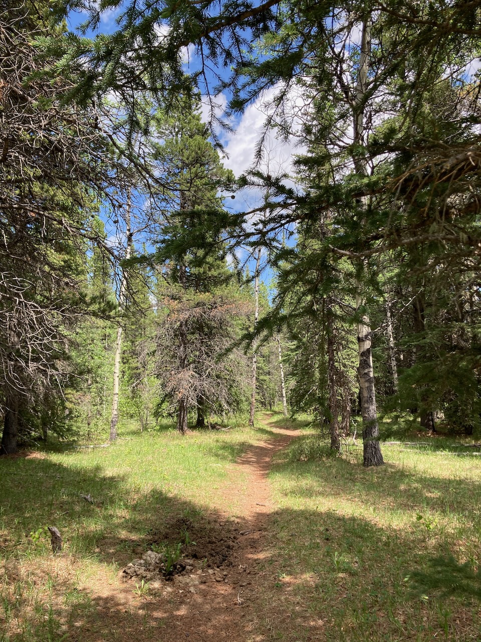
The trail starts off nicely. A gentle trail through the forest. This is part of Ford Creek / Ford Knoll Trail that parallels the road.


Dan is approaching the start of the climb. This climb that felt like it took hours.
Most mountain bike trails have a lot of uphill but the uphill is broken up with stretches of down hill or flatter trail that allow you to recover and keep going. Not this one! Once the climb started, it just didn’t let up. It gained most of its elevation in one long torturous stretch.
This is one of the map signs on the trail. It gives you an idea of how old the trail is. If you zoom in, you will notice the sign marks hiking trails and hiking/equestrian trails. No mention of bikes.
This trail was not built with mountain bikes in mind. I was glad to be done with it. Will not return.

Shocking that we only went about 6 km and 280 meters of height gain. Felt like at least double that!

Keep Rolling
To see more:
Leave a Reply